Climbing Quandary Peak
February 21, 2020
Quandary Peak (14,272 feet) is Colorado's 11th highest peak. This report covers my first ever climb of a 14er in winter. For 25 years living in Colorado, I only climbed mountains in the summer, thinking winter climbs were beyond my abilities. After all, they are difficult enough in the summer! Plus, since none of my friends care about climbing, almost all of my climbs have been solo. Solo, winter, 14er...it seemed too daunting. Until one night I met up with a group of climbers at a local bar and began talking about stuff, and the subject of the winter came up. They helped me to understand what's involved in this; route-finding, gear, physical demands, dangers, etc. One of them sensed apprehension, and reassured me that I could do Quandary for a first-timer solo. So I did. In January 2019 I set out. And failed. For the first time ever I got altitude sickness on a 14er, at 13,200 feet, about 1000 feet below the summit, and had to retreat. The next year, in February, another attempt was made and it was successful. This is that story.
You can imagine the route by looking at the title photo above. The trailhead would be on the right, but way down out of view 1,200 feet below the treeline. Ascend through the forest, emerge from the trees onto that broad east ridge, then up.
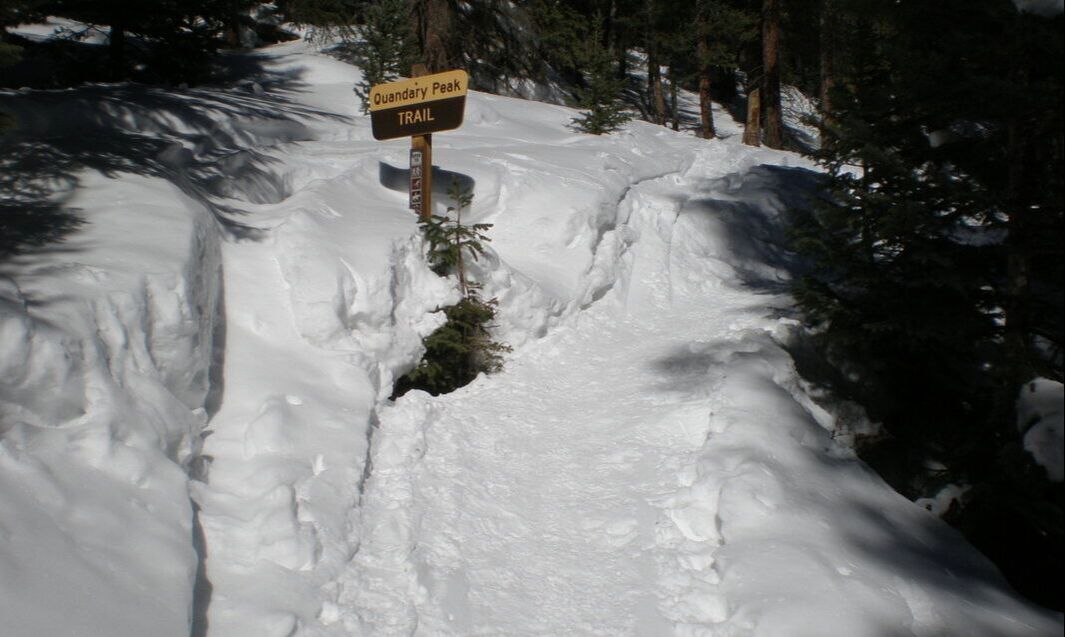
From the trailhead, the trail climbs up immediately in earnest through the snowy forest.
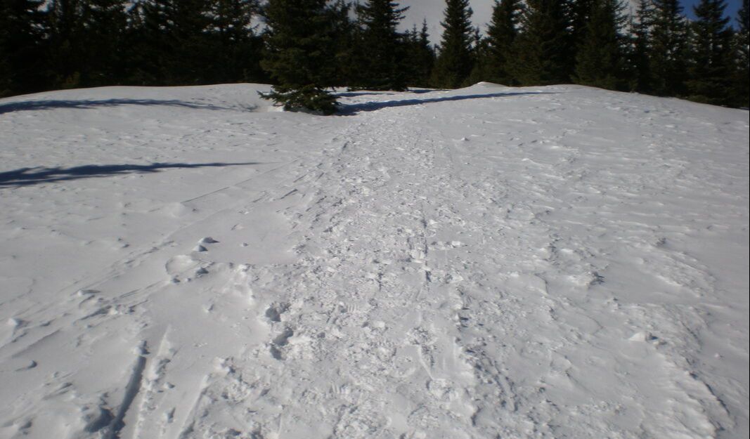
Since this was a Monday, the climbers before me on the weekend who had to use their snowshoes left this wonderful trench for me to use. It was nice and packed down so all I needed through the trees was microspikes on my boots and not snowshoes.
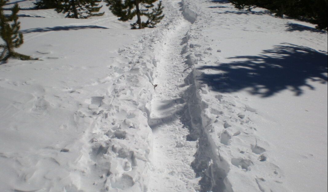
A few portions through the trees were a hardpack where the previous snowshoes didn't even sink in. Easy to walk on top.
There were many beautiful sights while hiking through the forest, including this one of Quandary's upper reaches.
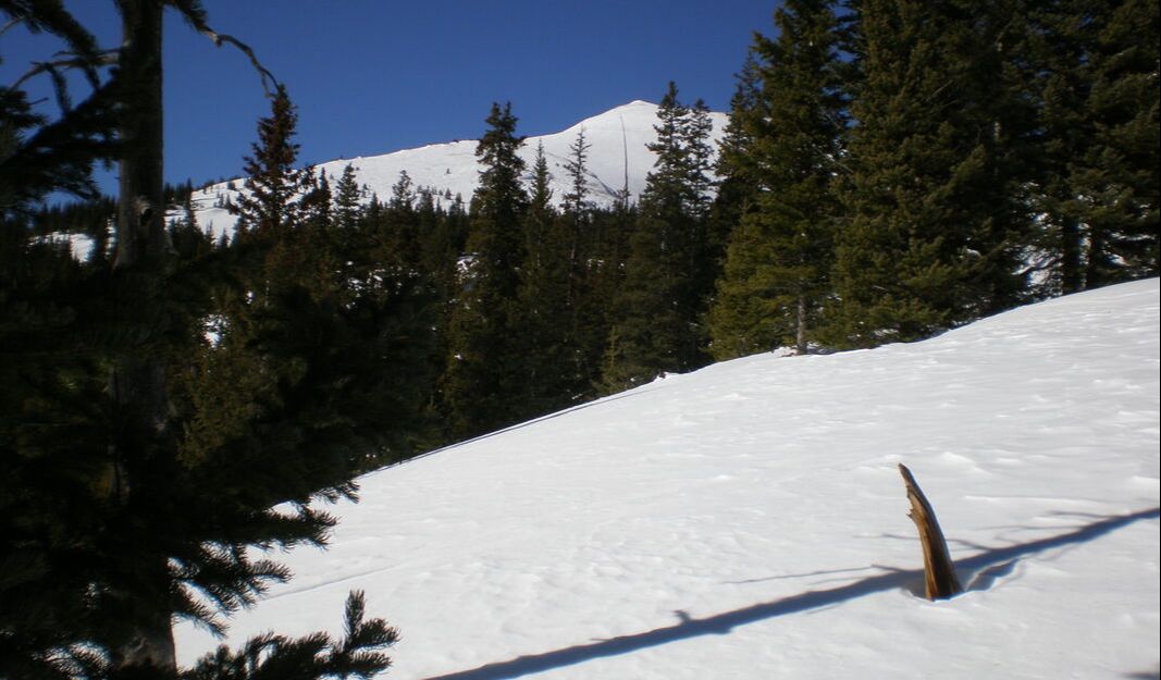
After gaining 1,200 feet of altitude, breaking out of the trees near 12,000 feet.

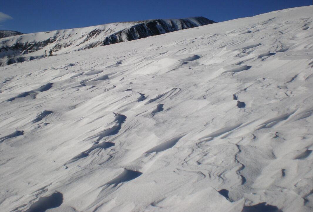
Now above the trees, any sign of a snowshoe trench has been blown away. Through here I started post holing quite a bit, sinking up to my knees and thighs. Time to find a solid spot to sit down and put on the snowshoes.
Snowshoeing up 1,200 feet to the 13,200 foot elevation "flat" spot. This is a long way where you just keep your head down, use your poles, and just keep at it.
Getting closer to the flat spot now, which is 1,000 feet below the summit.
Now at the 13,200 foot flat spot, it's time for a lunch break. This is where I suffered altitude sickness a year before and had to quit. You can imagine how frustrating that was having come this far only to turn around. That's the only cure for altitude sickness by the way, to descend. You can't wait it out or ignore it. It's a climb-ender.
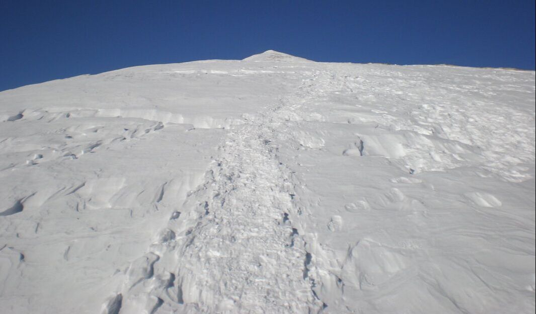
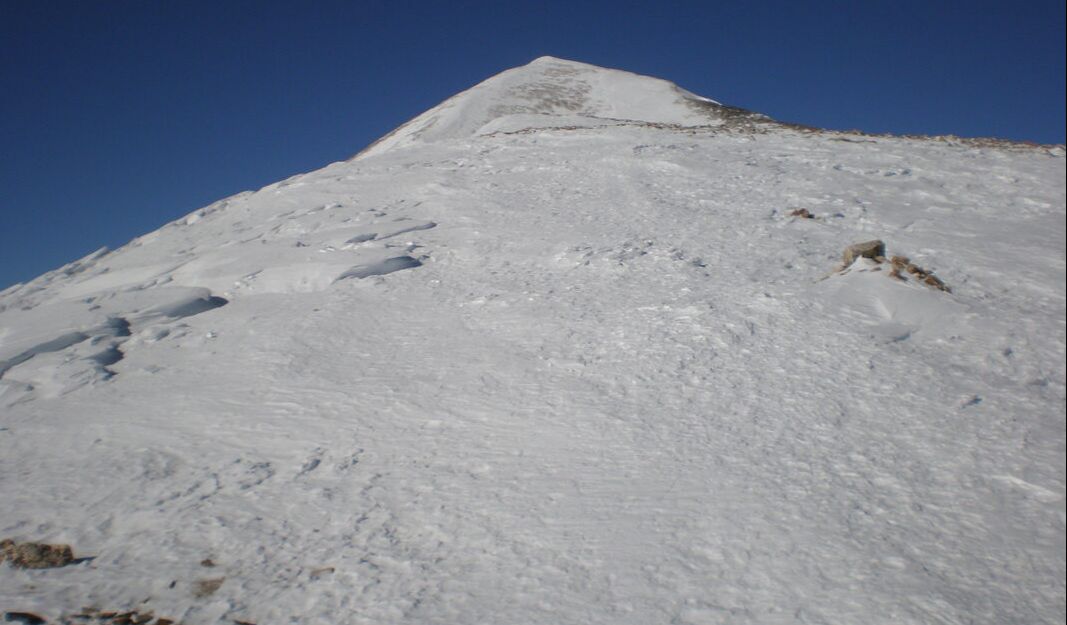
Okay, now it's time to go for the summit, 1,000 feet up (that's about 1.5 Gateway Arches) It doesn't look that high, does it? Looking up you can see that showshoes are no longer required, so I took them off and put the microspikes back on for traction.
Okay, now it's time to go for the summit, 1,000 feet up (that's about 1.5 Gateway Arches) It doesn't look that high, does it? Looking up you can see that showshoes are no longer required, so I took them off and put the microspikes back on for traction.
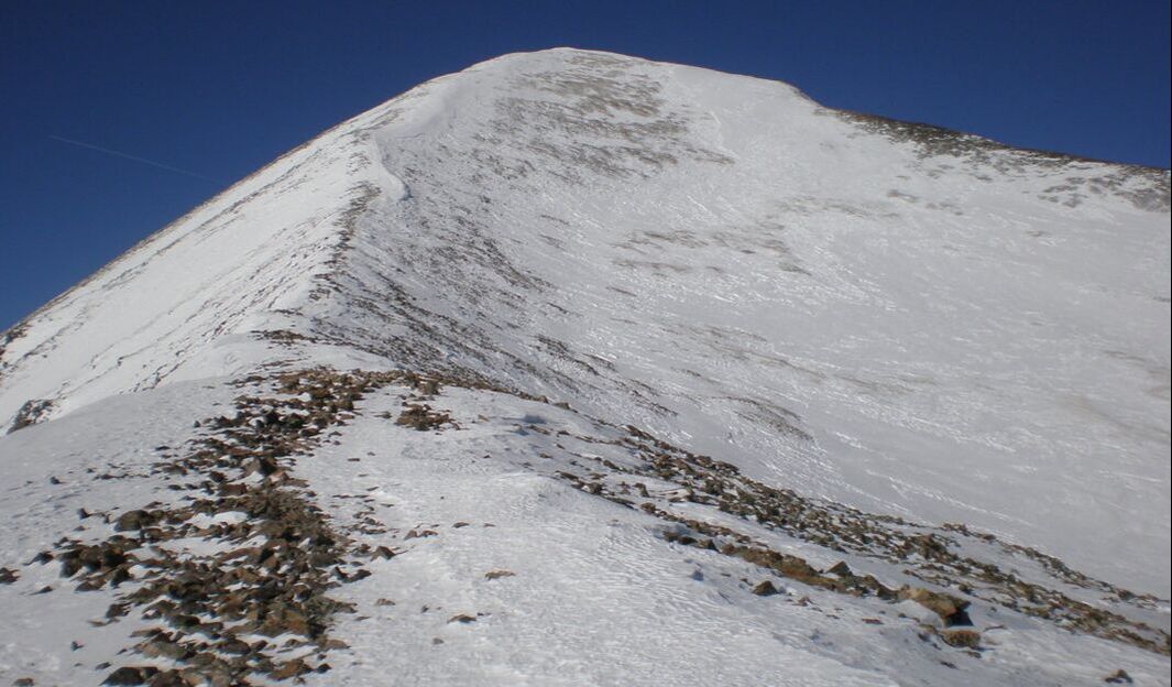
Basically there now! I didn't crop the sky out of this picture so you can get an idea of what a beautiful blue bird day it was.
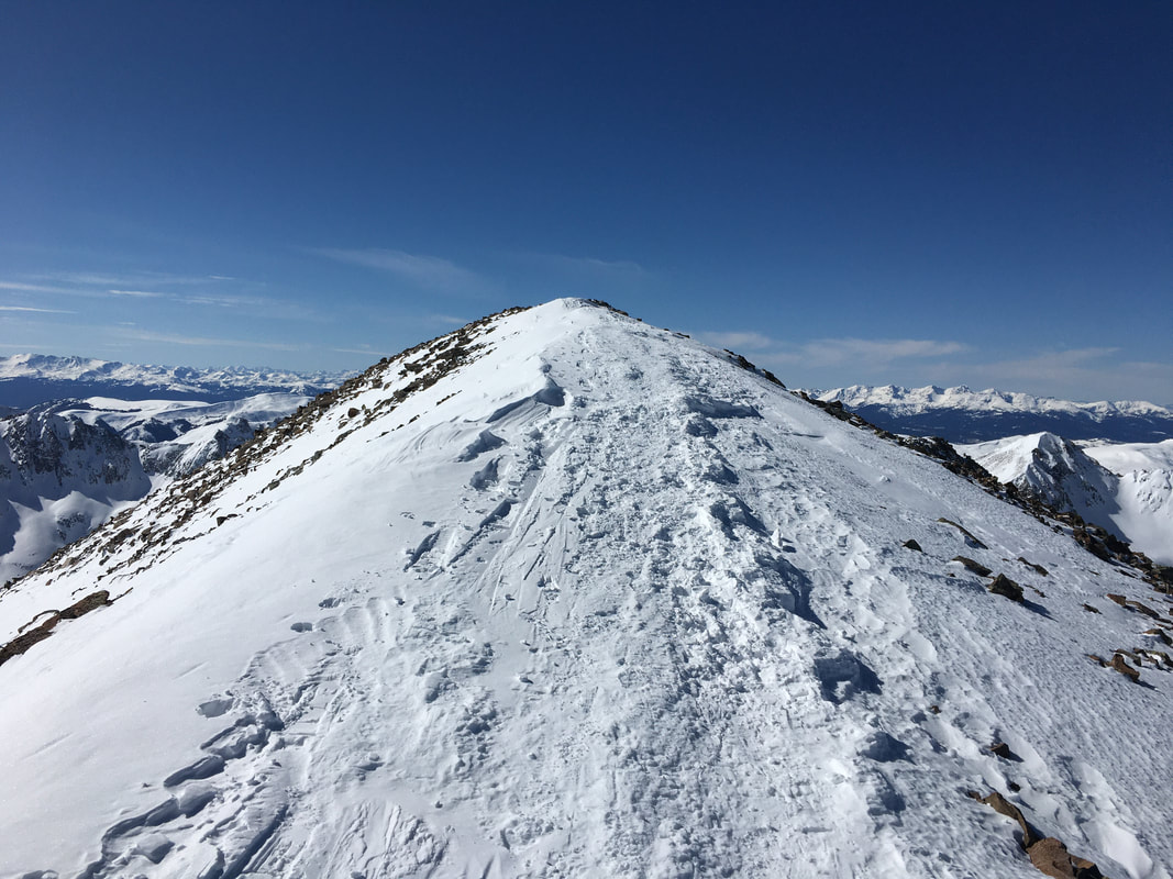
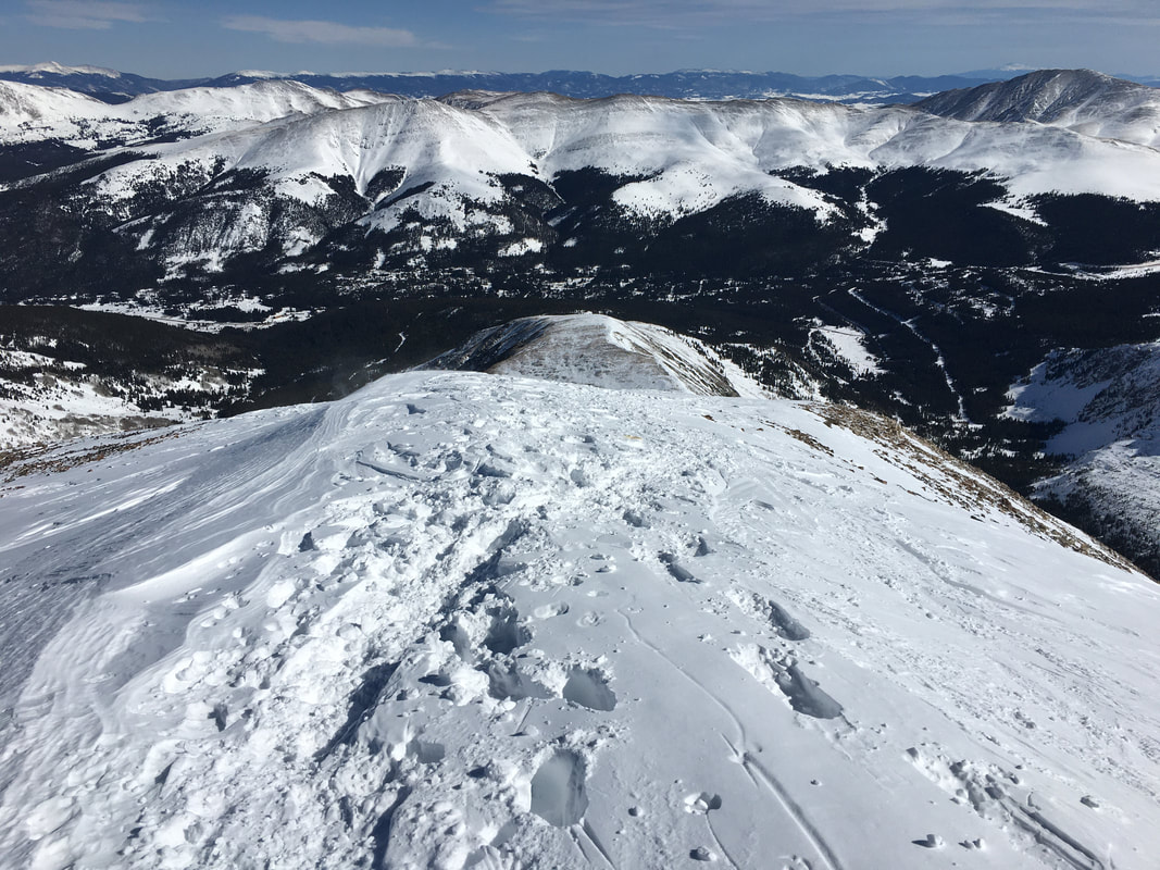
Now at the summit, this is looking down at the 13,200 foot flat spot. The trailhead is on the top of that clearing on the right where the road cuts through it. Whew.
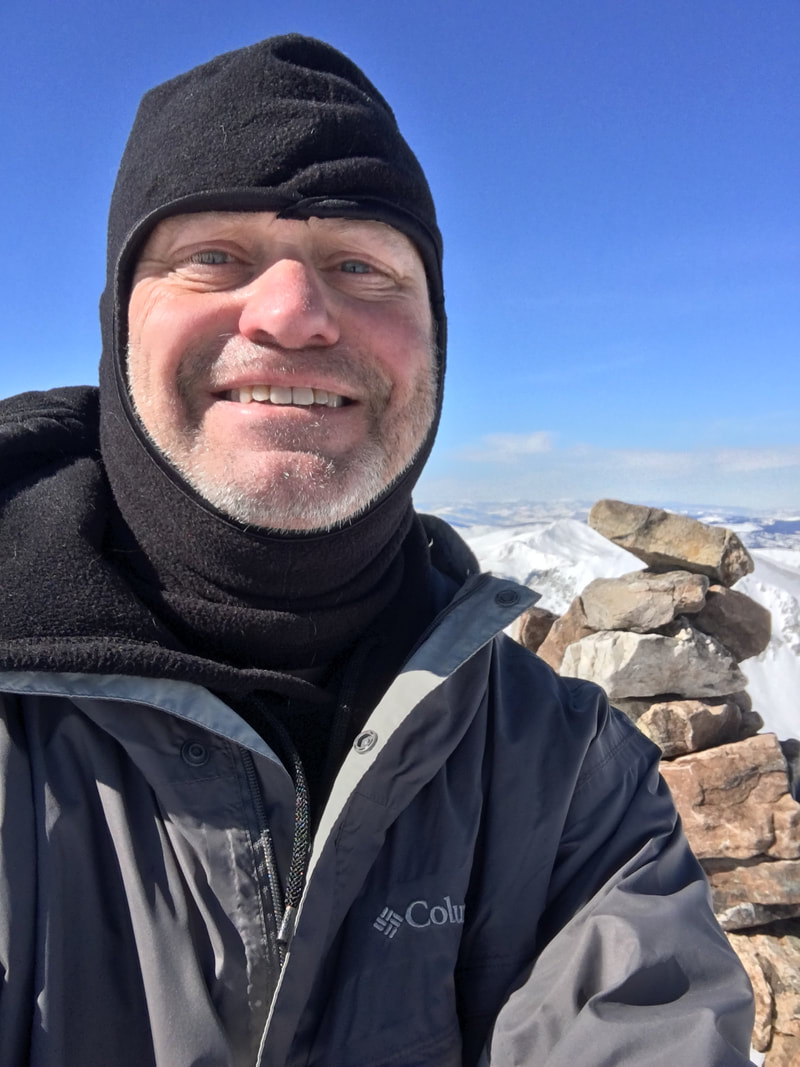
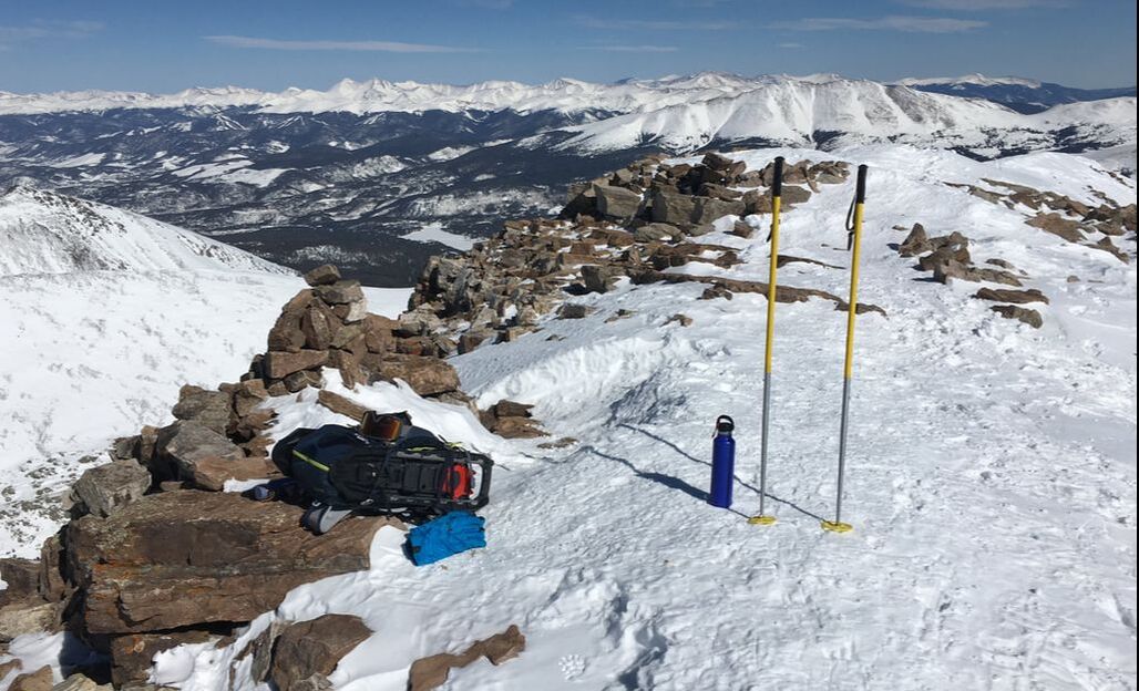
Here's me on the summit (alone, so I had to do a selfie.) Then, my stuff on the summit.