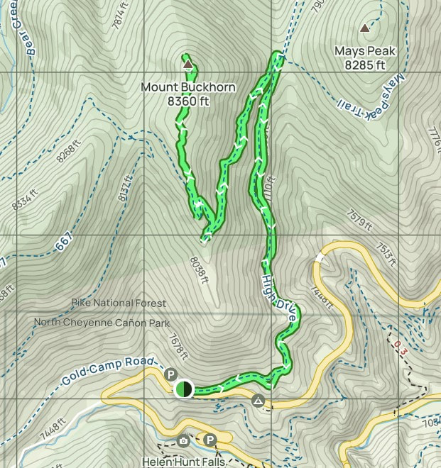
Mount Buckhorn (8,360 feet) and Mays Peak (8,285 feet) are two "mountains" in the Pikes Peak area west of Colorado Springs, CO. I hiked to the summits of these two mountains on Monday, March 4, 2024. The trailhead is at 7,500 and the route is 2 miles to the summit of Buckhorn, so that's only 430 feet elevation gain per mile. That's very tame compared to what I normally do (see any other trip report on this website.) Then the elevation gain for Mays is about 500 feet in a bit less than a mile. As see in the map below, ...follow the green line from the trailhead at the bottom of the pic, walk up an old road called High Drive for 1 mile then turn left on the trail for the remaining mile. Descend the trail back to the old road, then find and ascend the Mays Peak trail for about 3/4 mile to that summit. The whole thing took about 3 1/2 hours.
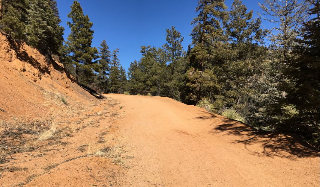
The beginning of the route, walking up High Drive.
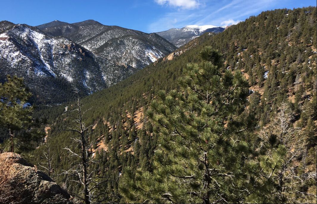
Approaching the summit of Buckhorn, looking west toward Mt. Rosa on the left, and Almalgre Mtn on the right. See that road up on Almalgre? I have a story to tell about that one, or you can ask Jim.
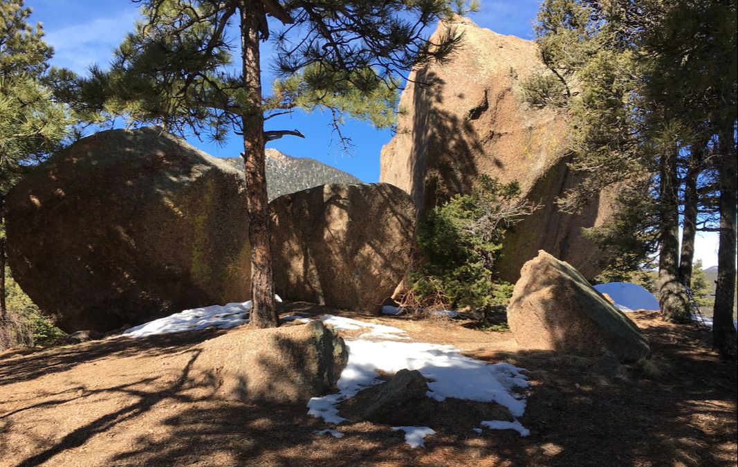
The summit of Mount Buckhorn is defined by several large boulders of Pikes Peak granite.
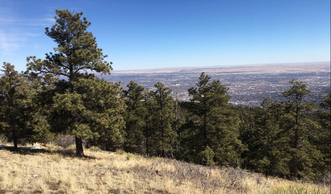
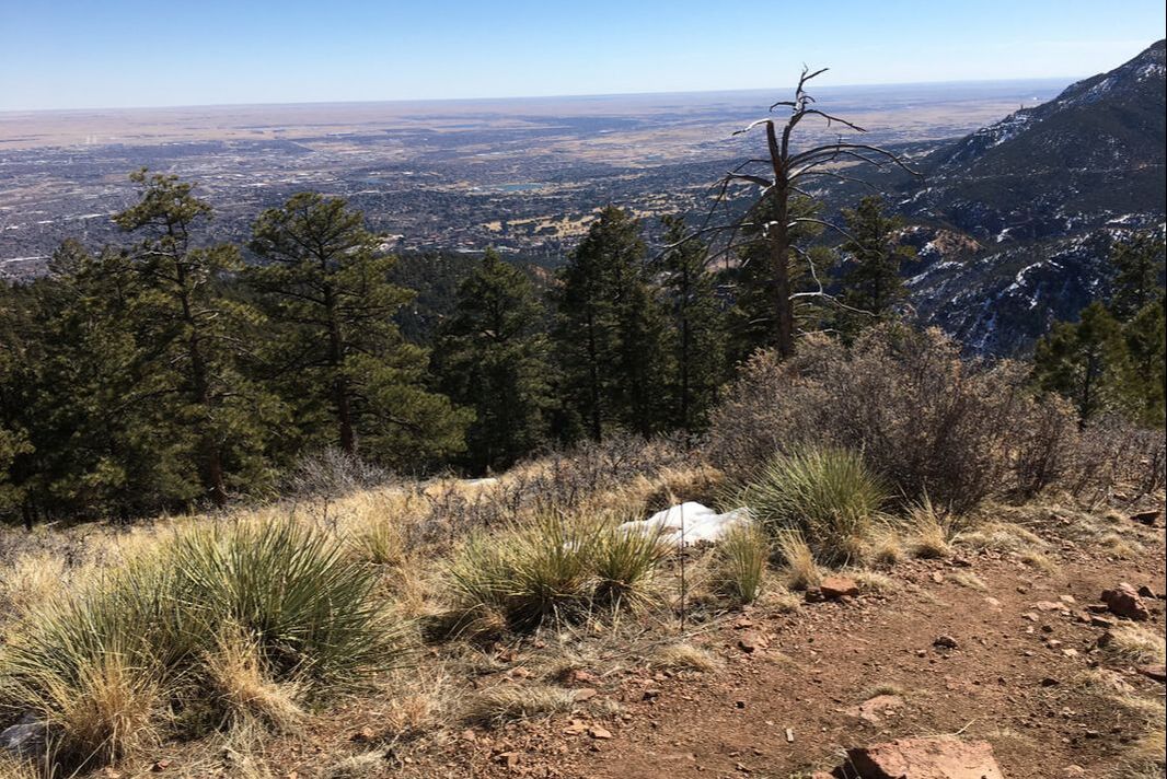
Like I said earlier, after the descent of Buckhorn back down to the old road, it's time to head up to Mays Peak. Here are a couple pictures from the summit of Mays.