Climbing Ptarmigan Peak (13,739) and Horseshoe Mountain (13,898)
Friday June 17, 2022
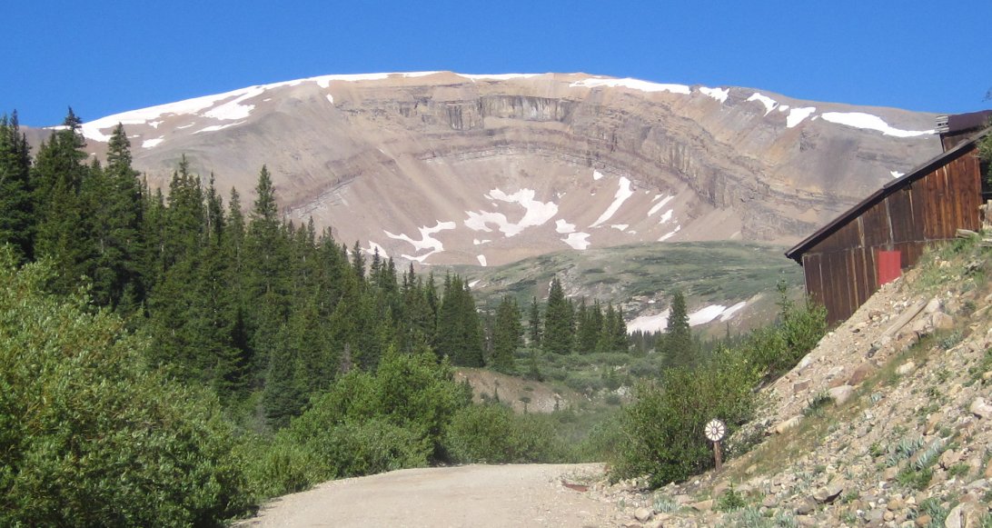
Photo credit coloradoguy.com
From the summit of Weston Pass, there are two peaks that people climb, Ptarmigan Peak and Weston Peak. Twice I've attempted nearby Horseshoe mountain (above) in the winter, and twice I failed. While studying the topo map for Ptarmigan and Weston, I noticed that Horseshoe is a bit less than 3 miles away. So my ambitious plan was to add Horseshoe to the others on my outing. Once I summited Ptarmigan, I had to force myself to start the descent toward Horseshoe because it would have been very easy to bail on it because it is so danged far away. On this climb, the trail lasts only 300 feet, which really is no trail at all, so after that I'm on my own as far as navigation goes. One thing I like about many 13ers vs 14ers is that they are seldom climbed. So not only is there more solitude (I saw no one the entire day), but it takes more study beforehand and route-finding skills.
"With an elevation of 13,898 feet, Horseshoe Mountain ranks among the 100 highest peaks of Colorado. For many peak baggers, that's reason enough, and it sees frequent ascents. For those less inclined to play the numbers game, Horseshoe is a worthy goal because of its ease of access, the views it affords, and its magnificent glacial cirque.Seen from the west, Horseshoe is merely a bump on the ridge that is the Mosquito Range, barely distinguishable from its neighbors. From the east, Horseshoe takes on a new character and becomes the peak by which all of its neighbors are defined. The namesake cirque on Horseshoe's east side is a beacon from much of the South Park area and is most likely the outstanding geographical feature of the Mosquito Range.
Horseshoe is usually climbed from the east side via a series of old mining roads originating from the Leavick site, southwest of Fairplay. Hikers of Mt. Sherman will be familiar with this trailhead. Other routes are possible on this gentle mountain. A ridge run north from Weston Pass looks to be a sure winner* and there are several lines through the cirque itself that look feasible on spring snow."
Italicized quote is the property of SummitPost. Direct link to its Horseshoe Mountain page: http://www.summitpost.org/mountain/rock/152284/horseshoe-mountain.html.
* That's the route I took, described below.
. This is looking down where I parked on the Weston Pass road after ascending the initial 1,400 foot slope.
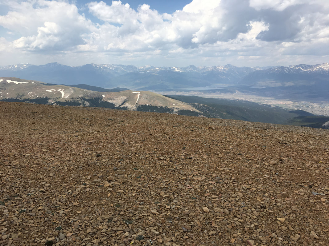
Glancing to the right, Colorado's two highest peaks Mt. Elbert and Mt. Massive can be seen
Turning around, and looking to the right, there's Weston Peak, which I decided to eschew.
So now it's time to go the other way and turn left to see this.
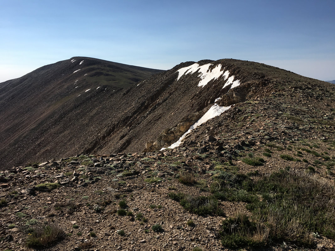
After a bit of climbing around that thing, Ptarmigan Peak comes into view. I took this picture on the way down. That's why the "sudden" change in weather conditions.
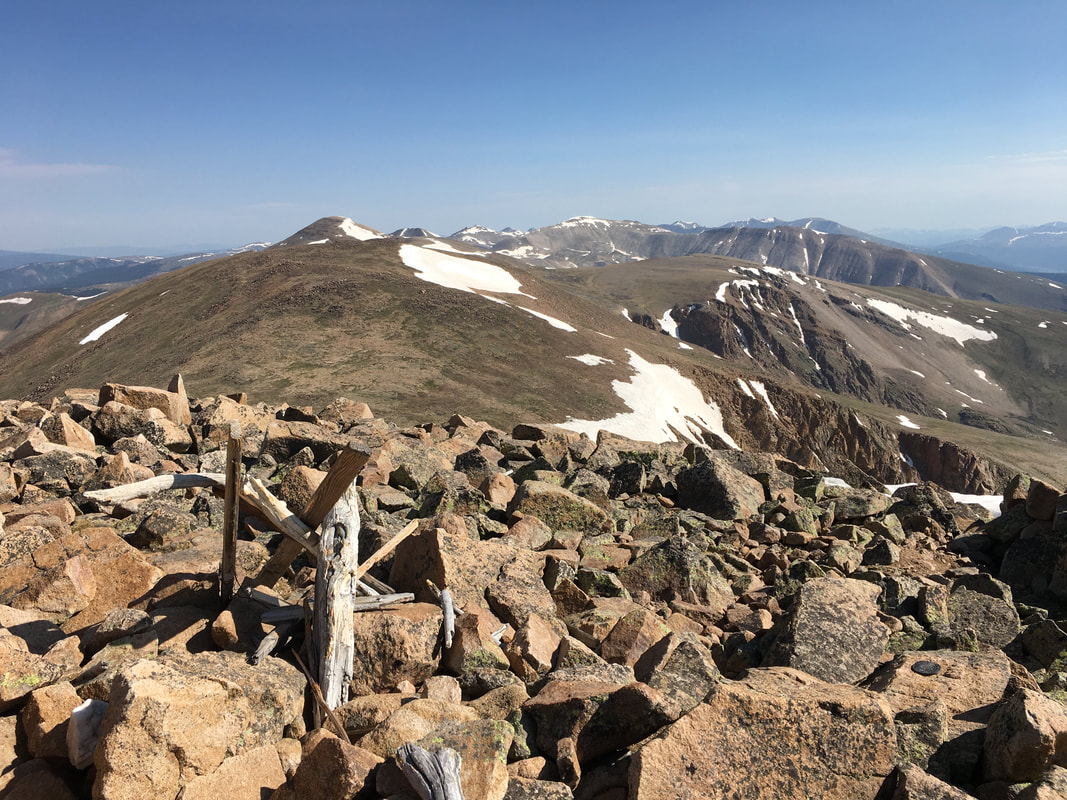
Now atop Ptarmigan...
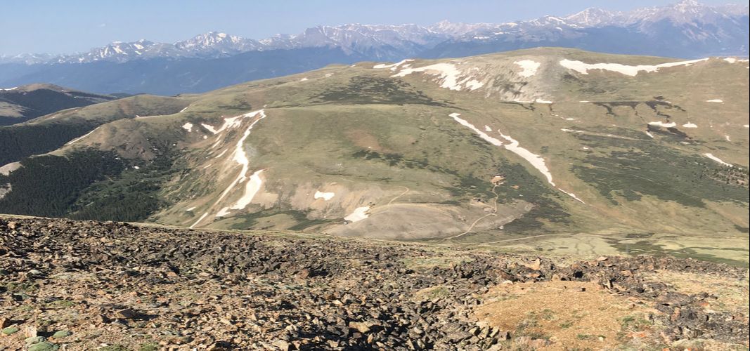
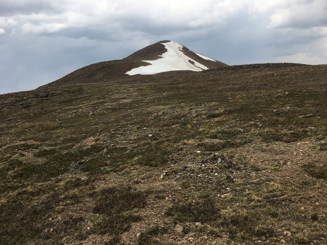
...A view of Horseshoe, the one on the left there, which is a "Centennial" one of Colorado's 100 highest (#72). This is the point where I usually have to fight the urge to take the easy way out and just go back and get Weston. After all, Horseshoe is 3 miles away, that's an extra 6 miles! But it'd sure be nice to bag a Centennial. Fighting the urge to not add that much extra effort to my trip, I begin making my way down Ptarmigan toward Horseshoe. Now on the way there, it would be stupid to turn back.
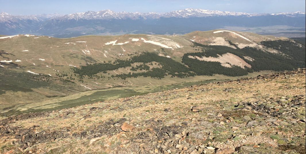
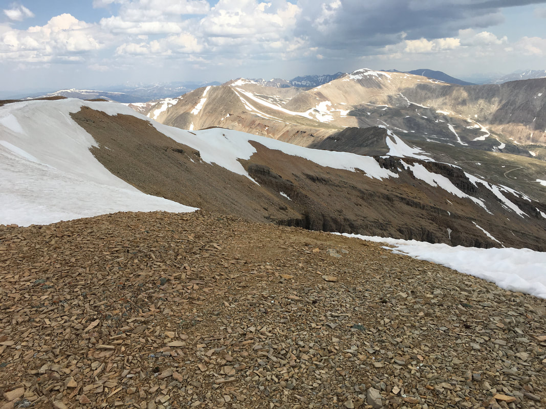
About halfway to Horseshoe along the long ridge, still quite a way to go.
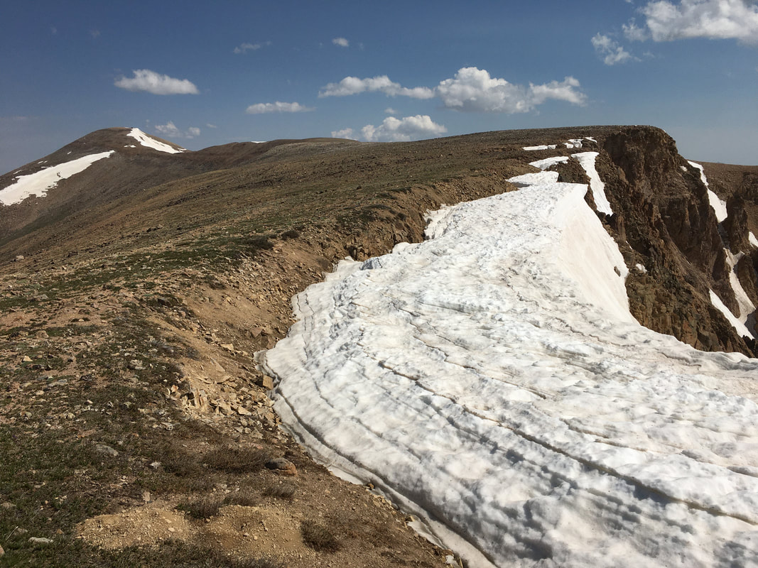
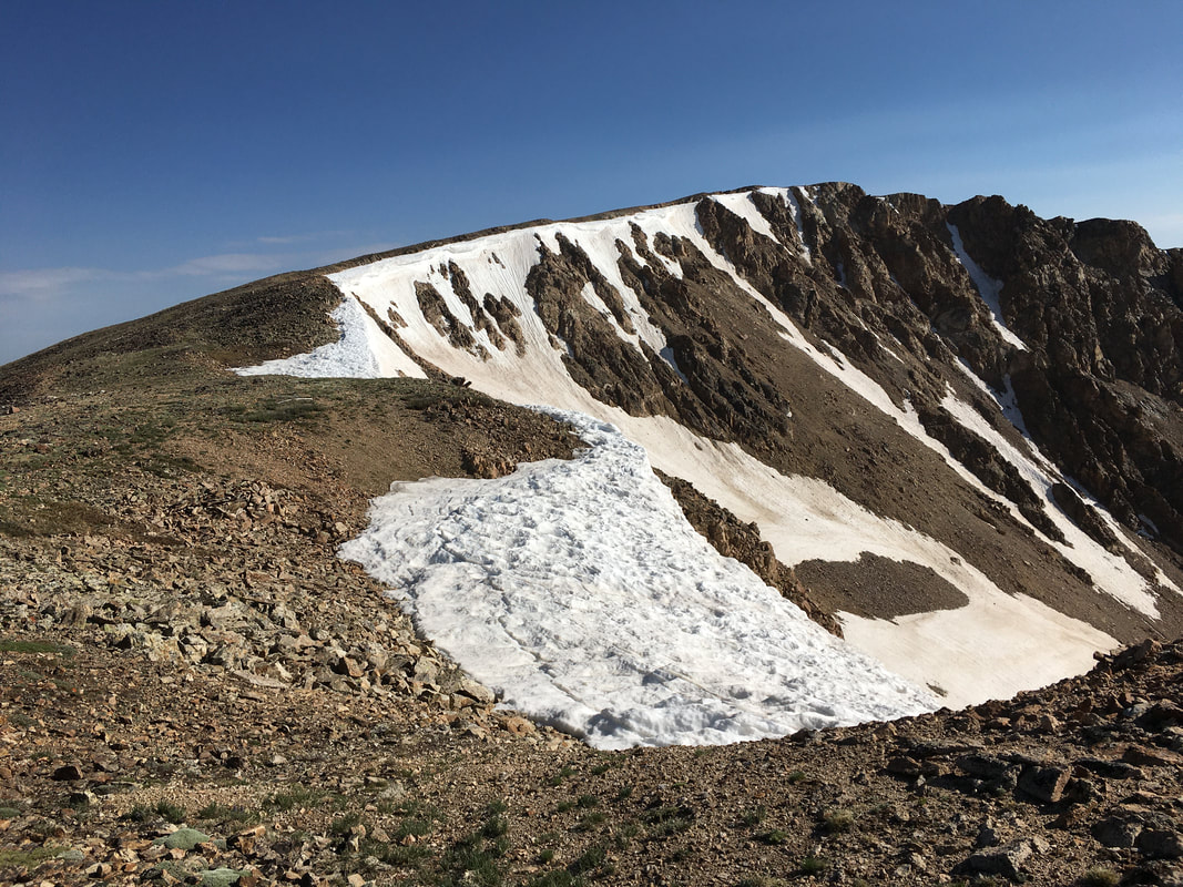
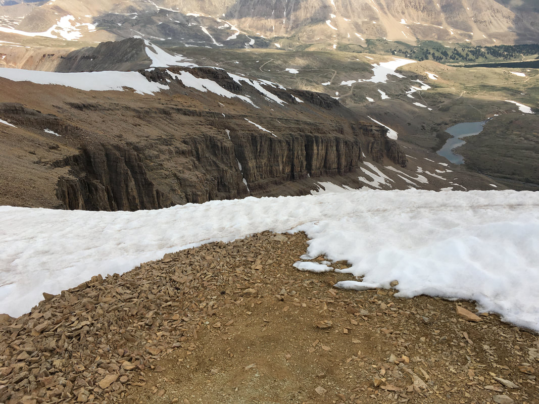
Still approaching Horseshoe, check out this hot mess of black and white rubble that seemed to go on forever! What a pain in the #@&! While not really gaining or losing elevation in this area, it would be very easy to sprain an ankle. Easy does it.

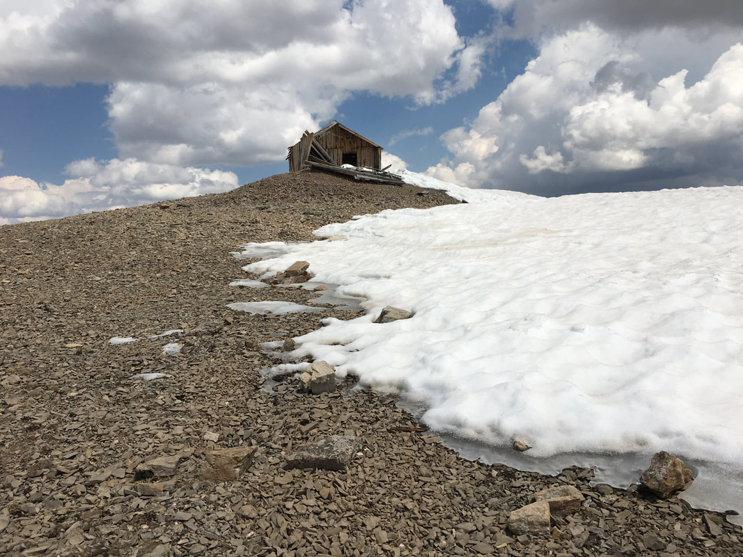
The summit has to be close now. I mean, look at the old mine building which appeared to be close to the top when spotted from afar. Come to think of it, that's probably the highest man-made structure I've seen out in the mountains. It's at 13,860 feet. Except for the Pikes Peak summit house, which doesn't compare to an old mine structure.
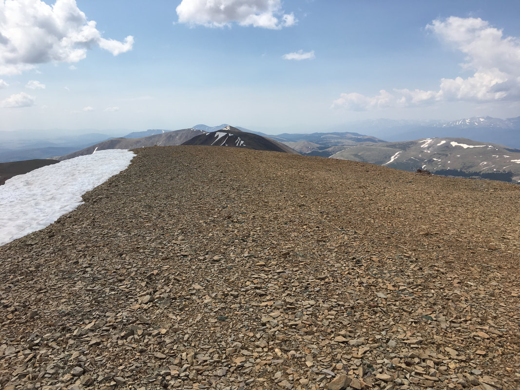
Summit reached! Looking back at Ptarmigan (that peak beyond the hump).
And now, a series of Horseshoe Mountain summit pictures. The first one shows the northern section of the namesake horseshoe pattern as seen in the title picture of this page.
There's Mt Sherman (14er) under the dark cloud.
A couple of the Sawatch range to the west...